You have not yet added any article to your bookmarks!
Join 10k+ people to get notified about new posts, news and tips.
Do not worry we don't spam!

Post by : Anis Farhan
Flooding has become one of the most devastating natural disasters of the modern era, intensified by climate change, rapid urbanization, and shifting weather patterns. From Southeast Asia to Europe and North America, cities are increasingly vulnerable to storms that overwhelm infrastructure. Traditional flood assessment methods—sending teams to inspect affected areas, relying on ground reports, or analyzing after-event surveys—are too slow and costly for today’s fast-moving challenges. Enter the new frontier: artificial intelligence and satellite imagery. These technologies are enabling authorities to analyze flood damage within hours, rather than weeks, revolutionizing disaster management and recovery efforts.
Artificial intelligence is transforming how governments and insurers calculate the impact of floods. Advanced models process vast amounts of data—from rainfall patterns and topographic maps to hydrological simulations—within minutes. Unlike traditional risk models, which often relied on static datasets, AI can integrate real-time information, producing more accurate predictions and assessments.
For example, neural networks can identify submerged infrastructure, crop damage, and even estimate economic losses by cross-referencing satellite data with land-use maps. This rapid assessment empowers authorities to deploy emergency teams effectively, prioritize resource allocation, and minimize loss of life.
Satellite technology has become indispensable in disaster monitoring. High-resolution imagery can capture entire flood-affected regions in a single snapshot, even when ground access is impossible. Satellites such as Sentinel-1 from the European Space Agency or commercial providers like Planet Labs offer near real-time images, helping cities and agencies assess inundation quickly.
Crucially, these satellites use radar-based imaging, which can penetrate cloud cover—a major limitation during storm events. When combined with AI algorithms, they can automatically detect water coverage, damaged roads, and collapsed structures, creating accurate damage maps within hours.
For smart cities, integrating AI-powered flood assessment tools is becoming a core part of their resilience strategy. Cities like Tokyo, Jakarta, and Bangkok—frequent victims of urban flooding—are adopting early warning systems and real-time monitoring dashboards. These platforms merge satellite feeds, AI risk models, and IoT-enabled sensors embedded in drainage networks, creating a holistic picture of flood risk.
This integration not only aids in immediate disaster response but also informs long-term urban planning. By analyzing historic flood data with predictive AI, city planners can redesign flood-prone zones, upgrade infrastructure, and optimize land use policies to minimize future damages.
The insurance sector has been quick to adopt these technologies, recognizing the need for fast, reliable damage assessments. Instead of waiting weeks for ground surveys, insurers can now estimate payouts within days, improving customer trust and speeding up financial recovery for affected households and businesses.
For governments, this efficiency translates into faster disbursement of relief funds and better accountability. By reducing uncertainty in post-disaster assessments, AI and satellite-based models are also helping attract international funding and investments in climate resilience projects.
Japan has been at the forefront of deploying these technologies, with agencies using satellite-based AI models to assess typhoon and flood damage within hours. Similarly, in the United States, FEMA has begun integrating machine learning with satellite imagery to streamline disaster response operations.
In India and Bangladesh, where monsoon floods displace millions annually, NGOs and government bodies are testing low-cost AI-driven platforms that can work with both satellite data and crowd-sourced inputs. These efforts are proving crucial in reaching remote and vulnerable populations.
While promising, these technologies are not without challenges. High-resolution satellite data is expensive, and not all countries have access to cutting-edge AI infrastructure. Developing nations may struggle to fund these initiatives without international support.
Moreover, AI models are only as good as the data they are trained on. In regions with poor data availability or inconsistent mapping, predictions may lack accuracy. Privacy concerns also arise when integrating crowd-sourced data, requiring strict governance frameworks.
The future of flood damage assessment lies in scaling these innovations globally. As satellites become cheaper and AI more accessible, more countries will be able to integrate these tools into their disaster management systems.
Emerging trends such as drone-based imaging, blockchain-enabled data verification, and community-driven AI models will further democratize flood monitoring. Together, they promise a world where disaster response is faster, recovery is fairer, and long-term resilience is stronger.
Flooding is an unavoidable reality in the age of climate change, but how societies respond makes all the difference. By leveraging AI and satellites, smart cities are equipping themselves with the tools to reduce loss, accelerate recovery, and build sustainable futures. The technology may not stop floods from happening, but it ensures that communities rise stronger after the waters recede.
This article is prepared for informational purposes for Newsible Asia readers. It is not a substitute for professional disaster management guidance or insurance advice.


Truck Crash in UP Kills 11, Many Injured
Out of control truck hits pedestrians in Uttar Pradesh, killing 11 and injuring many as authorities
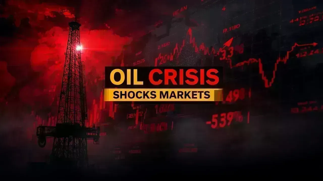
Oil Supply Crisis Hits Global Markets Hard | Prices Spike
Global markets face volatility as oil supply issues intensify, prompting reactions across stocks and

Must-Visit Tourist Spots in London: Experience the Best
Explore London's iconic attractions, from royal landmarks to cultural gems, ensuring a memorable vis
Turkmenistan Proposes New UN Aral Sea Plan
Turkmenistan calls for a new UN resolution to boost global support and funding for Aral Sea restorat

Mary Livestock Farmers Complete Lambing Season
Livestock breeders in Mary velayat successfully finish lambing campaign, boosting animal numbers and

ASEAN Meet Focuses on Food Security Challenges
Thailand joins ASEAN talks to address food security risks, fertilizer shortages, and rising costs am